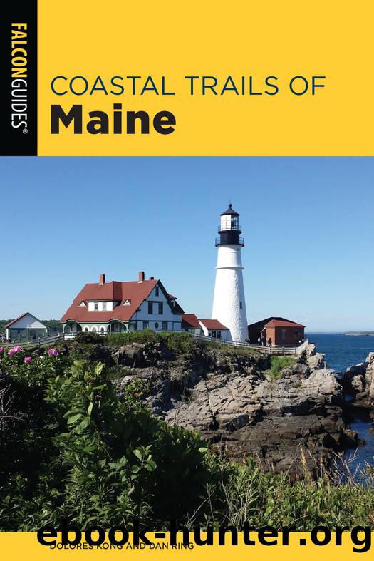
Coastal Trails of Maine by Dolores Kong & Dan Ring

Author:Dolores Kong & Dan Ring
Language: eng
Format: epub
Publisher: FALCONGUIDES
Published: 2021-03-10T00:00:00+00:00
Descend to Gull Cove at 1.6 miles, where the Gull Cove Trail (#5) comes in on the left. Stay straight on the Cliff Trail, being mindful of the poison ivy here, and start climbing up Whitehead, bearing right at the tree marked â#1â to continue paralleling the cliff. As you reach the top of Whitehead at 1.8 miles, look back to the south to see Gull Rock and Burnt Head. To the west from this high point, you can see the village. The Whitehead Trail (#7) comes in from the west here, and because it is the most direct route between the wharf and the spectacular views of Whitehead, you may find you have company here.
Continue north-northeast on the Cliff Trail, down to the base of Little Whitehead then up and over it. Continue bearing right to stay along the cliff tops on #1 as other trails marked â#12â and â#1Aâ go off to the left and inland.
Reach Squeaker Cove at 2.2 miles and continue on Trail #1, passing Trails #11, #10, and #1A that go left and inland.
Climb to the top of Black Head, the twin of Whitehead at 160 feet elevation, at 2.5 miles. As you round the headland to the northwest, you start getting glimpses of the mainland to the north and Burnt and Allen Islands in between. At 2.6 miles cross a mini-chasm and see Pulpit Rock come into view. Pass Trails #1A and #18 coming in on the left at 2.7 miles, and continue along the Cliff Trail as it skirts a grassy field close to Pulpit Rock.
At 3.0 miles the Cliff Trail heads away from the oceanâs edge as it rounds Green Point at the northernmost part of the island and starts curving west. As it heads inland, the Cliff Trail passes #17, the Fern Glen Trail, and #15, the Evergreen Trail, coming in on the left (south).
At 3.4 miles the Cliff Trail skirts the shore at Pebble Beach and #14, the Pebble Beach Trail, comes in on the left (south). A big white erraticâa glacially deposited rock, seemingly so out of place on the coast hereâhints at the powerful glacial forces that shaped this island. Seal Ledges and Duck Rocks come into view, where you may see harbor seals hauled out.
At 3.7 miles, as the Cliff Trail rounds the northwestern edge of the island, Manana Island across from the Monhegan wharf becomes visible, as does the rocky knob known as Smutty Nose. Manana Island represents the tail of Monheganâs distinctive whale-shaped profile, visible as you approach by boat.
The Cliff Trail heads away from the shore again, passing #14 on the left (north) and ending at a junction with the Black Head Trail, #10, at 4.0 miles. Turn right (southwest) onto the Black Head Trail and follow that as it merges onto Main Street at 4.1 miles. Follow Main Street back to the village; turn right (southwest) onto Wharf Hill Road, and return to the wharf at 4.6 miles.
If you find you have plenty
Download
This site does not store any files on its server. We only index and link to content provided by other sites. Please contact the content providers to delete copyright contents if any and email us, we'll remove relevant links or contents immediately.
| Camping | Excursion Guides |
| Instructional | Walking |
In a Sunburned Country by Bill Bryson(2953)
Annapurna by Maurice Herzog(2847)
How to Read Nature by Tristan Gooley(2668)
Dangerous Girls by Haas Abigail(2481)
The Lost Art of Reading Nature's Signs by Tristan Gooley(2288)
SAS Survival Handbook by John 'Lofty' Wiseman(2265)
In the Woods by Tana French(2007)
Food and Water in an Emergency by Food & Water In An Emergency(1995)
The Stranger in the Woods by Michael Finkel(1930)
Guns, Germs and Steel by Diamond Jared(1890)
Everest the Cruel Way by Joe Tasker(1829)
Backpacker the Complete Guide to Backpacking by Backpacker Magazine(1820)
Sea Survival Handbook by Keith Colwell(1797)
Ultimate Navigation Manual by Lyle Brotherton(1770)
Trail Magic by Trevelyan Quest Edwards & Hazel Edwards(1763)
Wild: From Lost to Found on the Pacific Crest Trail by Cheryl Strayed(1746)
Birds of the Pacific Northwest by Shewey John; Blount Tim;(1609)
Welcome to the Goddamn Ice Cube by Blair Braverman(1605)
Portland: Including the Coast, Mounts Hood and St. Helens, and the Santiam River by Paul Gerald(1584)
